LiDAR is Light Detection And Ranging. LiDAR systems send a laser pulse which strikes/bounces from objects and the pulse returns to the sensor. The time between the send and return of the pulse determines distance and point placement. This allows for extremely precise measurements in virtually any scenario. LiDAR may be hand-held, static, mobile, or aerial. TheLiDARPROs offer all forms of LiDAR capture.
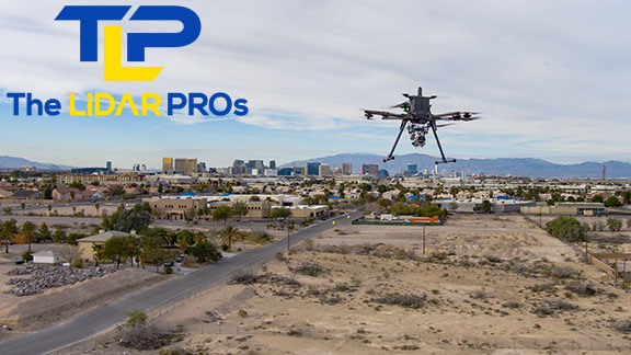
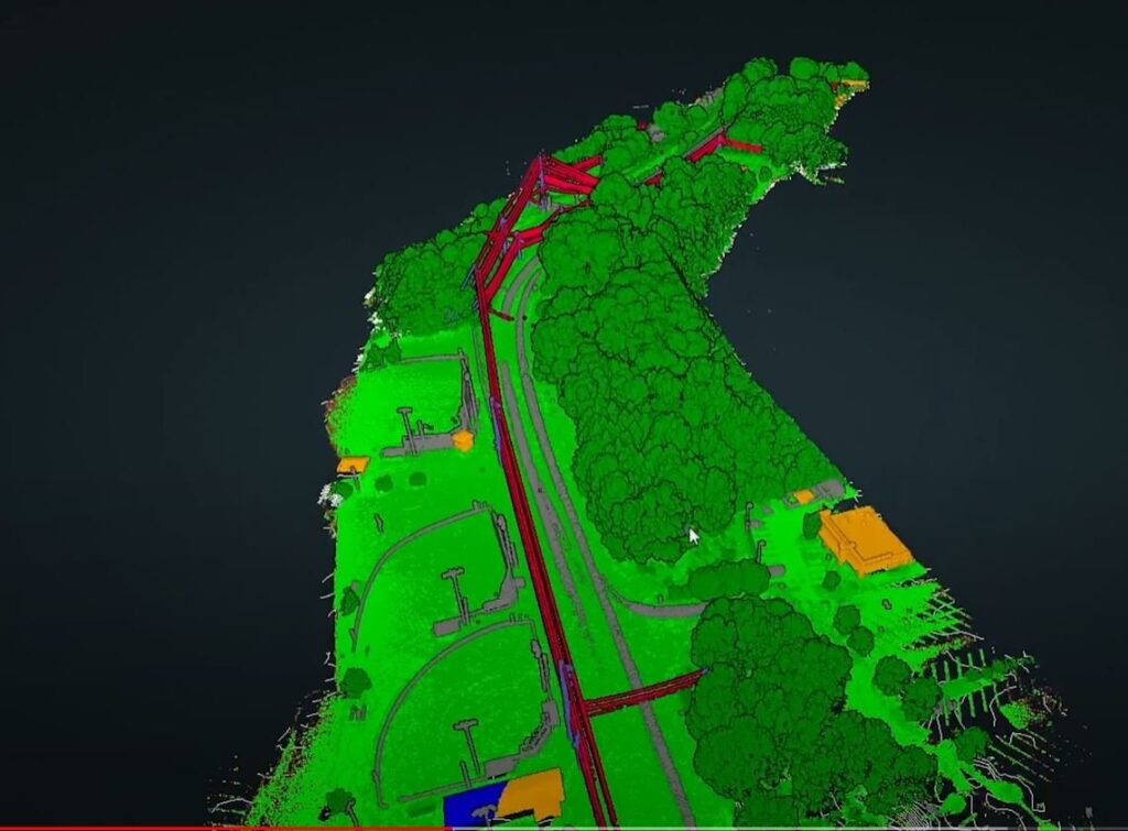
Aerial LiDAR enables rapid capture of building exteriors, roads, construction sites, concrete pads, terrain/topography, mines, cliff walls, drainage systems, land for development, waste management, utility inspections, power line encroachment, vegetation analysis, land surveying, mapping, floodpain mapping, post-disaster events, archeology, urban planning, and so many other uses it can be a solution for nearly any vertical application.
AERIAL LiDAR
Our team uses Reigl, Pandar, Ouster, and Velodyne sensors in a variety of IMU/LiDAR Sensor packages with a strong emphasis on Geocue products. Our primary sensors are the Geocue 535 and Geocue 540, with the Geocue 585 as an NDAA-compliant sensor for operation on Federal lands/projects.

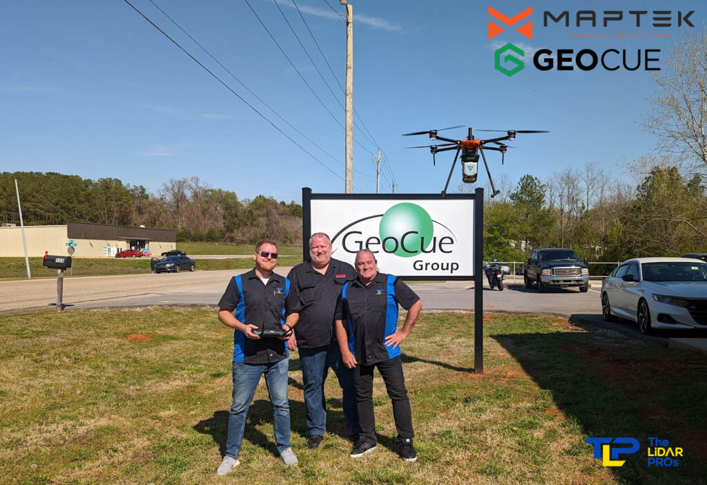
The Geocue 540 is an engineering-grade LiDAR sensor with an accuracy of 15mm and ranging of up to 400 meters in distance. We were the first team to fly the Geocue 540 in the United States, at the Geocue factory in Huntsville, Alabama.

ACCURACY
Accuracy with LiDAR is achieved through PPK workflows, or assisted with PPRTX and direct geo-referencing. Some of our systems have photogrammetry capability built into the LiDAR payload package, such as the Geocue 535, which offers three 21MP cameras in addition to the LiDAR sensor. This allows photogrammetry, colorization of the point cloud, and LiDAR data to be captured simultaneously.

