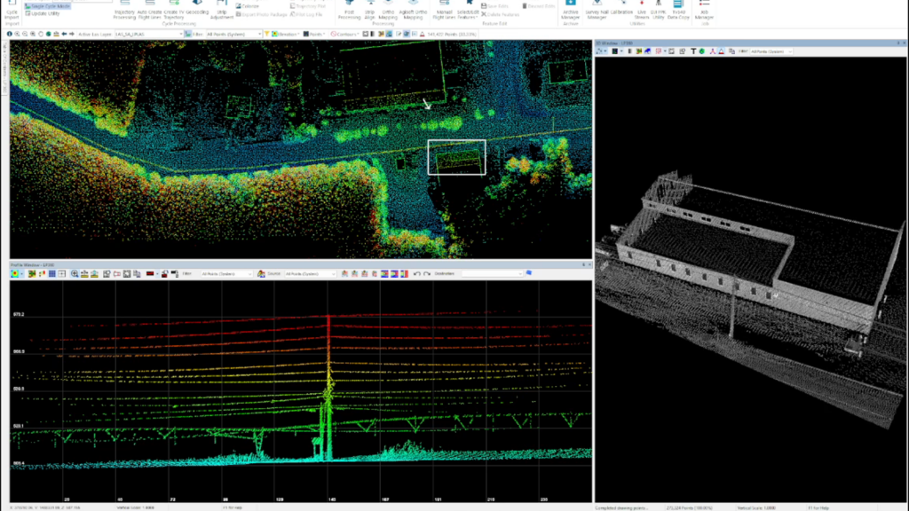
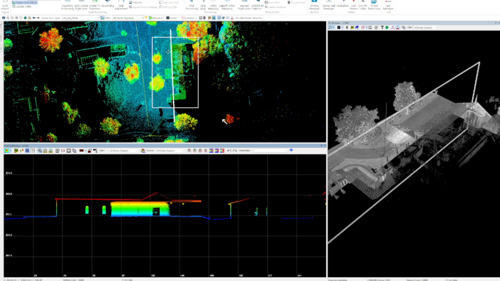
Mobile mapping refers to LiDAR and (sometimes) Photogrammetry acquired from a vehicle, vs flying a payload/sensor system on an aerial platform (drone).
Mobile mapping is a highly efficient means of capturing data while driving a vehicle down a road, along a ravine, gully, ditch, irrigation canals, in areas to be developed, forests, and virtually any other application where clean data is required of ground, streets, built up, or to-be built up areas.

TheLiDARPROs offer mobile mapping services, and we also sell the same equipment we use for mobile mapping services. Equipment is available for rent (DME must be purchased separately, as the DME is specific to vehicle type. This part is required for accurate roadside measurement, achieving accuracies of better than 1cm).
The Geocue 535 sensor package may be used either on a UAS platform, or mounted to a vehicle to be driven across areas to be mapped. Costs range from as little as $1000.00 per day for services to a client-owned purchase package of $110,000.00 including rails, DME, inverter, storage, and all necessary cables, accessories, and training.


Deep detail may be obtained even at speeds as high as 50mph. Higher speeds are possible, although some resolution/density is lost at higher speeds. Mobile mapping may be performed around the clock. Unless photomesh is required, mobile mapping is most efficient in late night hours, as there are fewer vehicles on the road, fewer pedestrians, and in some scenarios, the vehicle may be driven slower than normal speed limit requirements may allow during daytime.
I WANT TO KNOW MORE ABOUT MOBILE MAPPING! (email link)