Photogrammetry is defined as the science of using photography and digital imagery in surveying and mapping to measure distances between objects. “Photo” refers to light, “gram” means drawing and “-metry” refers to measurements. Photogrammetry uses photos to gather measurements with which we can create drawings and models.
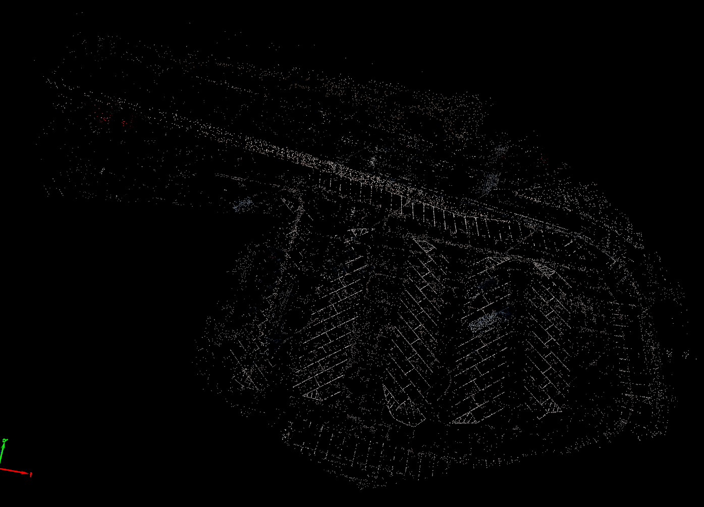
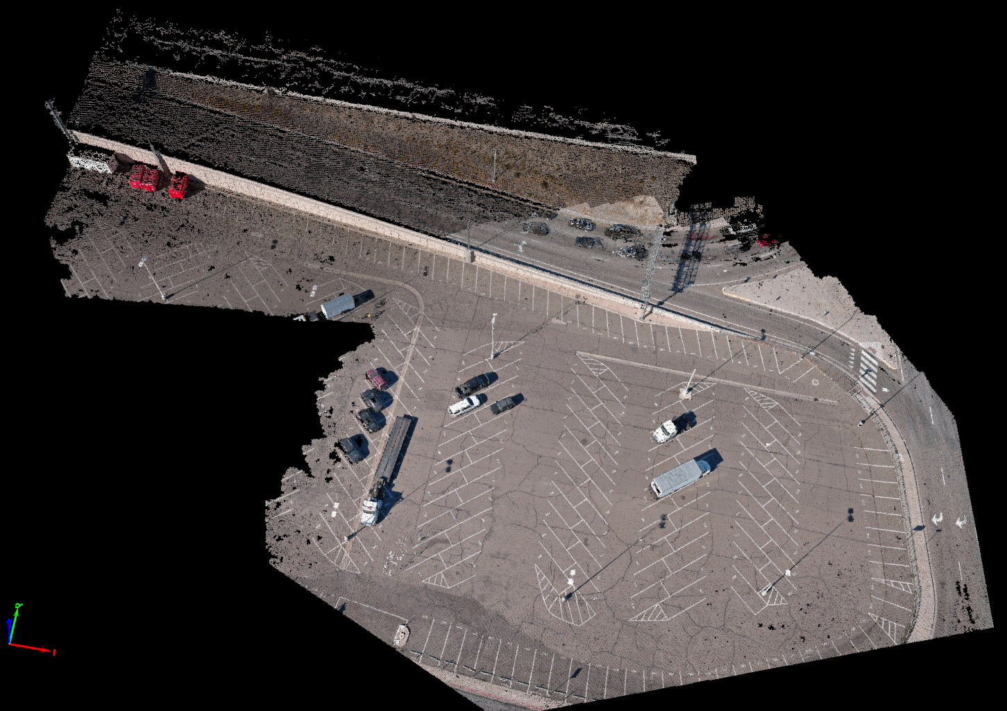
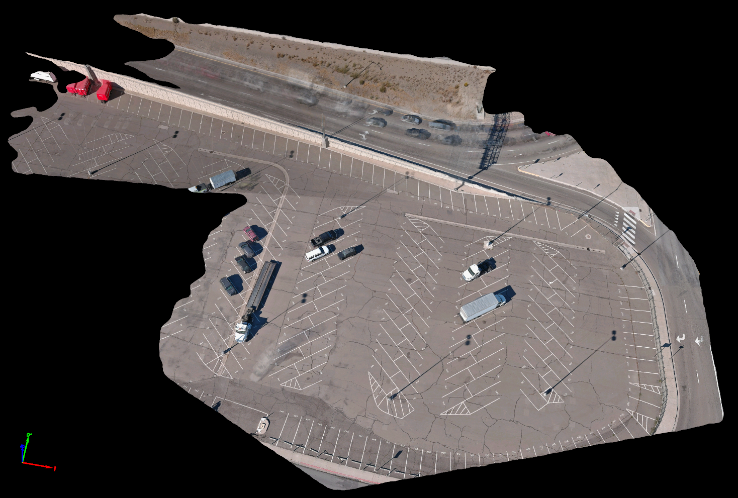
Photogrammetry draws upon a planned mission with the aircraft, capturing photographs as it traverses the area to be mapped. The aerial camera logs its location with Lat/Lon embedded in the photos, along with altitude data. The metadata stored in each photograph serves as a datapoint within the various software tools we use from Pix4D, Leica, Agisoft, DroneDeploy, etc. These software tools assemble the core image, and our techs clean the resulting point cloud, and if the customer would like the point cloud textured or meshed.
Photogrammetry is more than simply launching a drone on an automated flight; planning for proper wind response, ground sampling distance, terrain-following, and more. Our missions are planned for optimal data capture and ideal GSD based on client requirements and best practices. We are able to fly in most circumstances, unless inclement weather occurs.
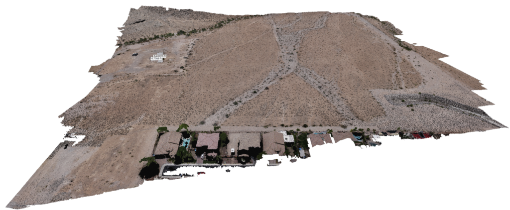
Large or small areas are optimal for photogrammetry, particularly when stitched imagery is useful in more than visualization. For example, marketing teams often use 3D models of jobsites to help sell tenants on a new building location. General contractors hire precision photogrammetry services and then provide or “sell” the data to subcontractors. Photogrammetry captures in advance of site development allow engineers to set grade for excavators running machine control, calculate cut/fill for pipelines, trenches, contour fill, berm contours, and more. Additionally our survey clients enjoy rapid delivery of site data used for ALTA surveys (We are not surveyors, we provide data delivery based on coordinate system provided/requested by our client). Photogrammetry saves significant time in ALTA surveys, BIM components, progress reports, geolocation of MEP prior to and post-pour on flatwork, and provides a platform of site growth/development.
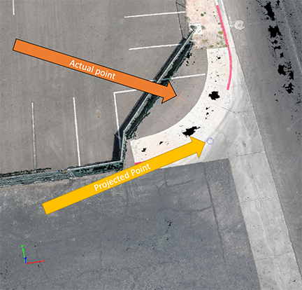
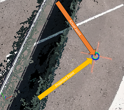
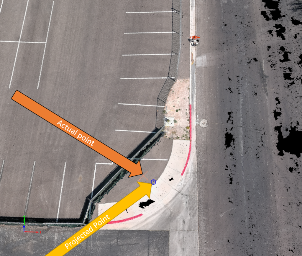
Precision and accuracy are managed through connection to a fixed base station or NTRIP network. 1cm accuracy is the benchmark, although some projects offer high resolution/accuracy than others, dependent on a variety of factors. Wind, scale of site, EMI, exposure to southern sky, and other aspects may slightly decrease accuracy. As seen in the middle image below, with a correctional network or base station connected to the aircraft, precision of 1cm or better is achieved. We proudly use Stonex base stations in our workflow.
