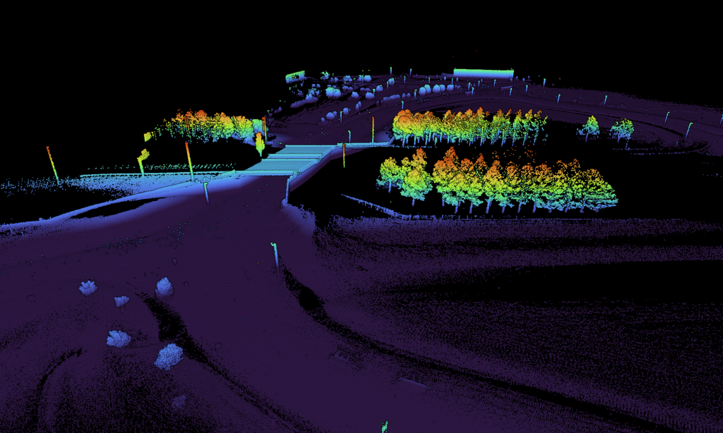
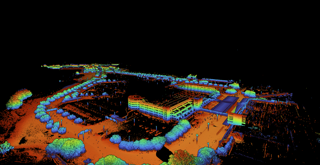
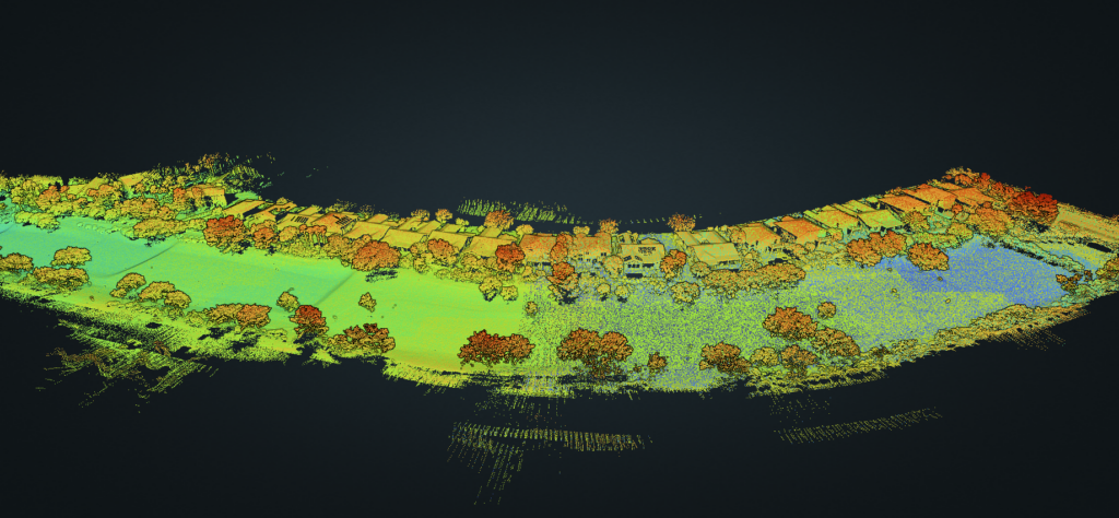
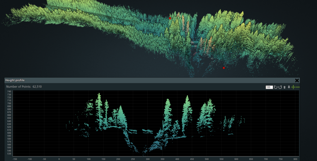
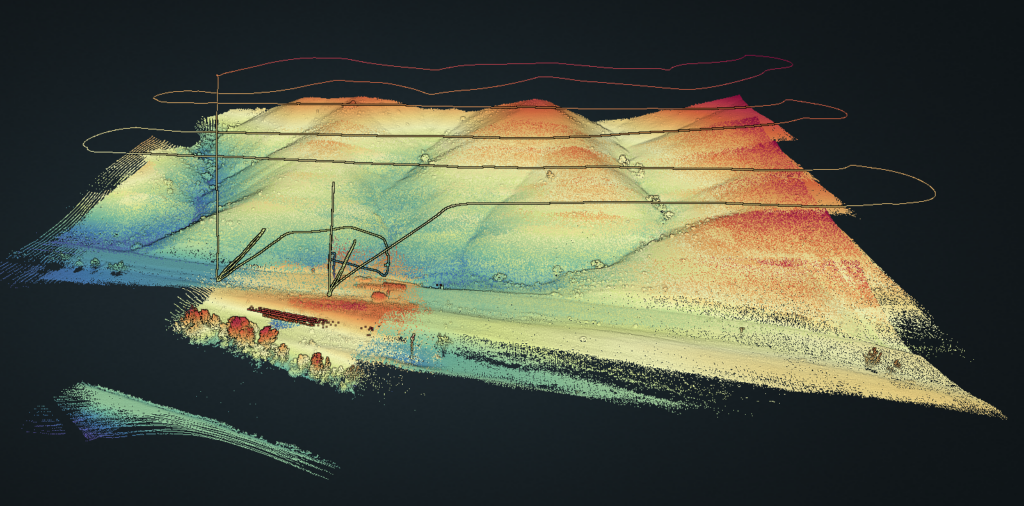
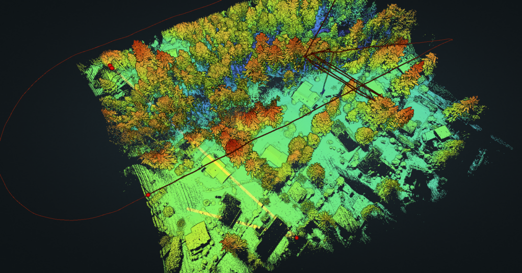
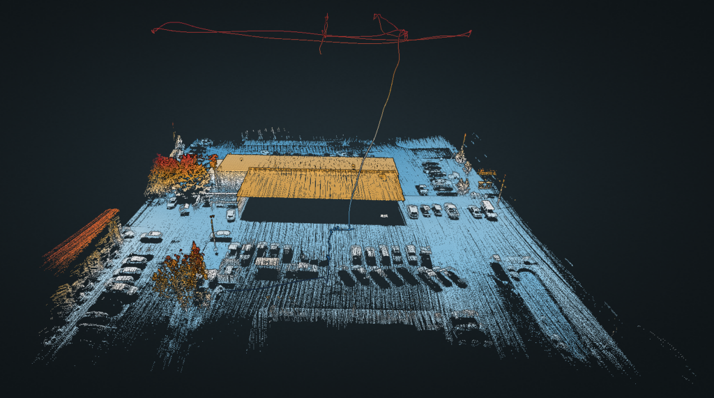
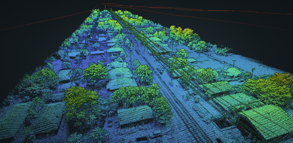
Precise and accurate mapping services may be delivered in many different forms. Whether it’s a basic orthomosaic for visualizing an area from overhead, to precise measurement points embedded in the image, geotagged tiff files for developers, or 3D models, we’re here to fulfill whatever is necessary to complete, augment, document, or archive the project.
