Description
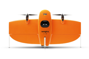
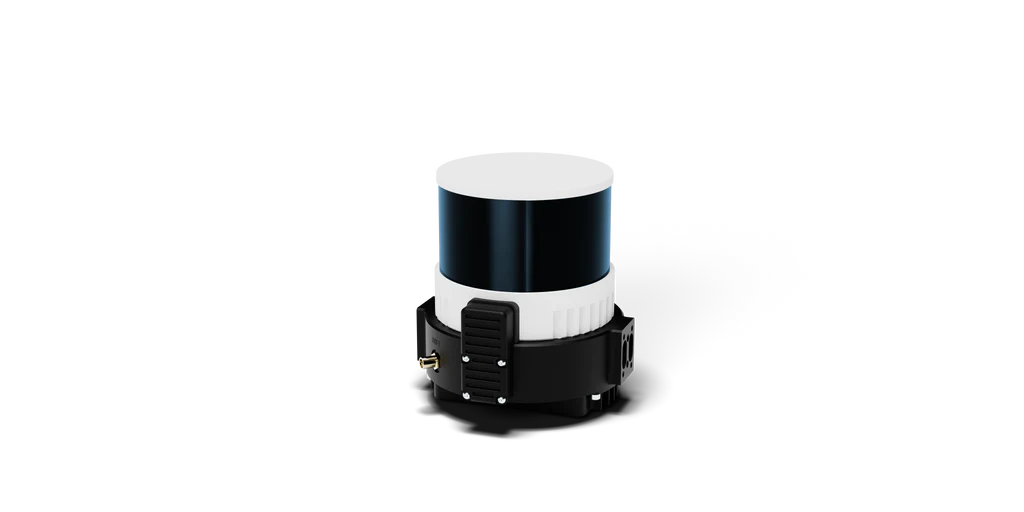
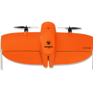
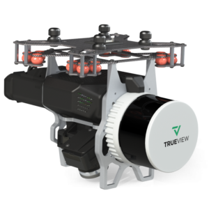
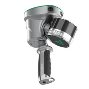
The Wingtra LiDAR sensor is a cutting-edge technology that revolutionizes aerial mapping and surveying. With its advanced Light Detection and Ranging (LiDAR) capabilities, this sensor delivers unparalleled precision and accuracy in capturing topographical data from the sky.
Whether you’re in the fields of agriculture, construction, or environmental monitoring, the Wingtra LiDAR sensor empowers you to gather detailed 3D information with ease.
**Key Features:**
– High-precision LiDAR technology for accurate data collection
– Lightweight and compact design for easy integration with drones
– Real-time data processing for instant insights
– Versatile applications in mapping, surveying, and more
– Enhance efficiency and productivity in your projects
Elevate your aerial data collection to new heights with the Wingtra LiDAR sensor. Explore the possibilities of high-resolution mapping and unlock the potential of your projects with this state-of-the-art technology.
Additional benefits of the Wingtra LiDAR system:
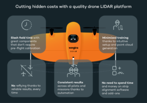
- Penetrate heavy foliage for true grounding information
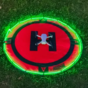
- LiDAR allows for night-time flight, freeing up daylight or capture when operational areas are closed, lesser traffic, no people, etc
- Time to deliverable is significantly reduced
- Resolution may be significantly increased
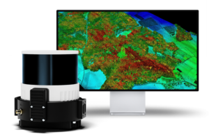
See this open pit mine, scanned using the Hesai Pandar XT32 sensor.

Reviews
There are no reviews yet.