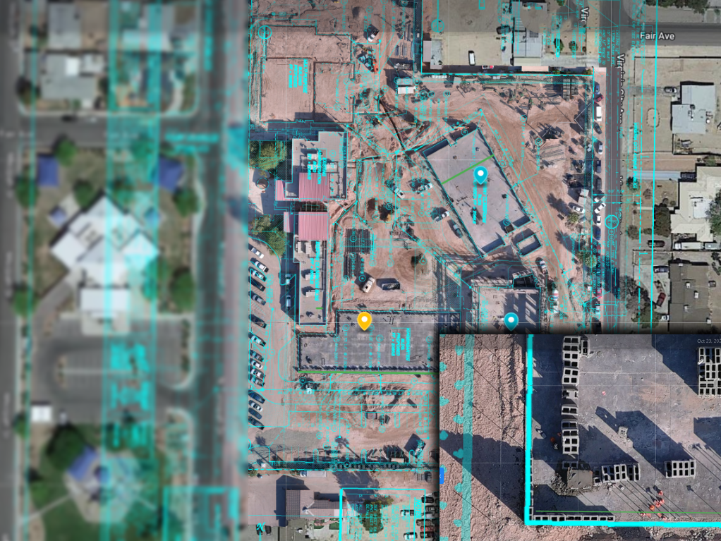
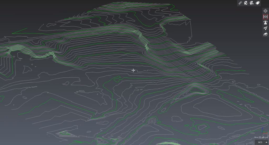
The LiDAR PROs provide LiDAR and Photogrammetry services for a broad variety of use cases. We are not licensed surveyors and do not present ourselves as providers of surveying services. We do use survey-grade equipment and software tools commonly used by surveyors, engineers, architects, VDC, and similar as precision-mapping and locations are critical to our workflow. Generally, we are able to provide precise and accurate data from which our clients are able to measure, plan, visualize, and archive for BIM, As-built, Alta’s, progress reports, etc.
In most scenarios, we partner with survey firms for final delivery in whichever formats are required per-client, for compatibility with in-house software.*
MAPPING SERVICES– LiDAR and Photogrammetry
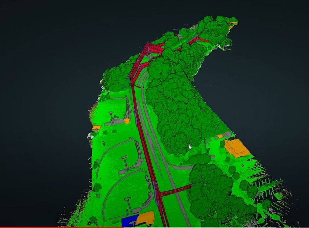
PROGRESS REPORTING -LiDAR and Photogrammetry for infrastructure, building, and utility inspections including powerline encroachment.
MINING AND AGGREGATES-LiDAR and Photogrammetry for highwall twinning, capture, cut, fill, environmental sciences
ALTA, SURVEY, and MAPPING -TLP are not surveyors, yet we use the same tools as most survey and layout professionals. Utilizing RTK, PPK, PPRTX, we localize our data to client specifications (or default State Plane).
URBAN MAPPING-LiDAR services combined with photogrammetry with mobile mapping, Ladybug used for photogrammetry and combined datasets of photos meshed over high-precision LiDAR data allows clients to see detailed data, as many as 8 million points per mile.


*We do not provide indirect services in the state of Oregon. We are pleased to partner with licensed Oregon surveyors.