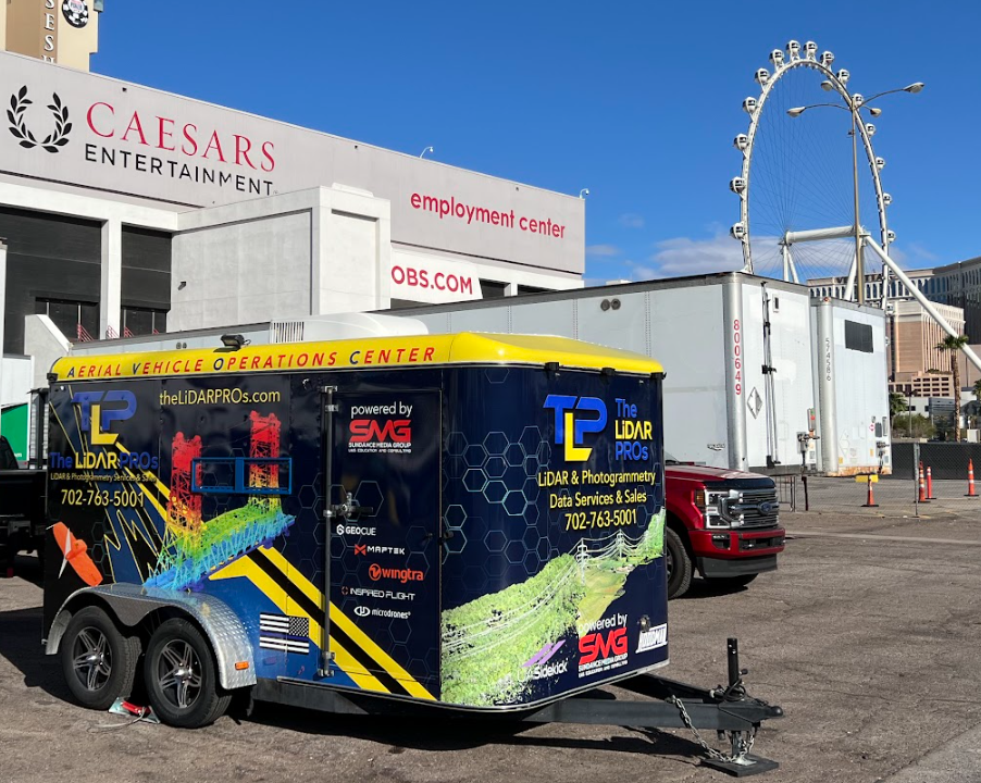
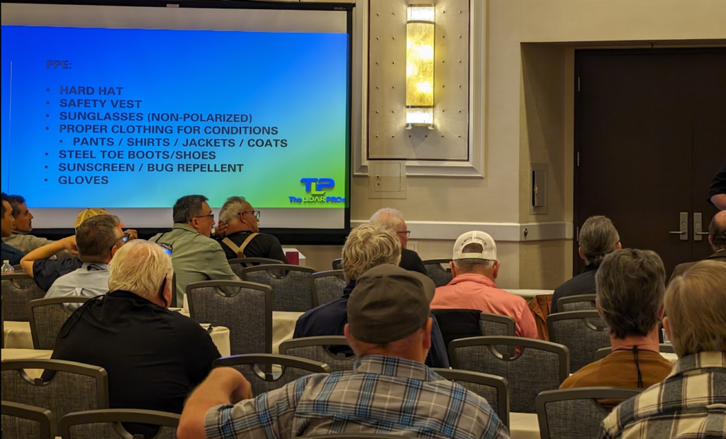
Today started the Western Regional Survey Conference where our team was provided a room for all-day training. We helped attendees learn more about LiDAR, Photogrammetry, basic safety, advanced safety practices, how to optimize missions, risk mitigation (same as our FAA certificated course ALC-678), LiDAR workflows blending terrestrial and aerial data, and tours of our mobile command center/AVOC.
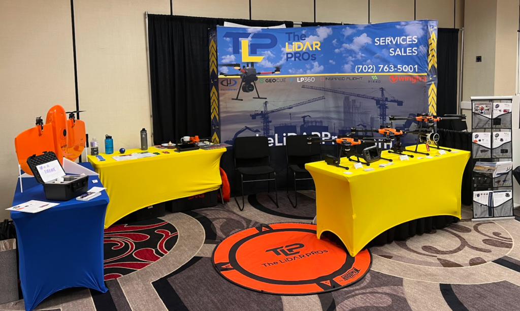
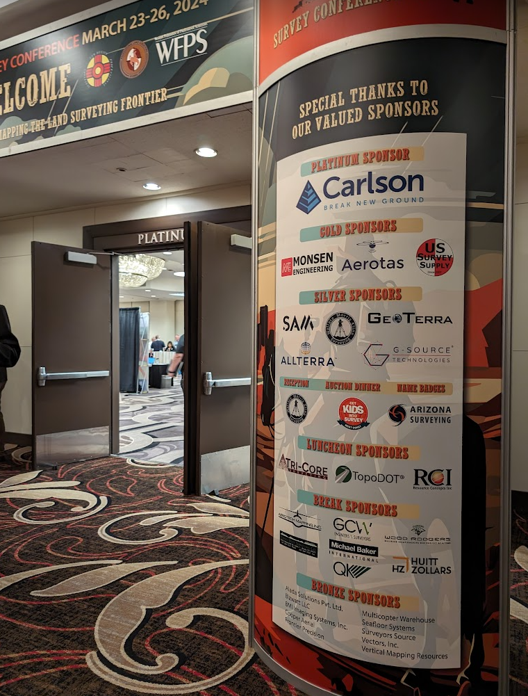
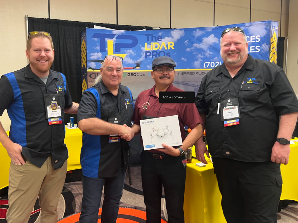
Congratulations to the winners of the giveaway drones, with Anson B winning the grand prize of the Yuneec Breeze package. We look forward to seeing photos of his flights on the Dine’ Nation where he works with the Tribal Housing Authority. We also gave away two other smaller, indoor practice UAS.
We trained for the entire day on Saturday, covering diverse topics such as;
- Risk Mitigation Certification through the FAA FAASafety.gov program
- LiDAR & Photogrammetry: Which is right for your projects and workflow?
- Operational Standards and Tools for UAS on the Construction or Survey site
- Basic Safety Operations with UAS
- Live Tours of the LiDARPROs mobile command/site shack
Thank you again to everyone who made it a fun week with a particular nod to Crissy, the conference organizer! Thank you so very much, Crissy, for the work you do for everyone at the conference.
Our next event will be the Utah Aeronautics Conference where we’ll be presenting, providing live demos/flights with UAS at the Davis County Convention Center.
Leave a Reply